from the California State Library.
For folks living today, this photo might almost be meaningless, for there is nothing in it that really marks Duarte proper except for Beatty Canyon in the distance. There are no homes, no parks, no buildings to even orient oneself to. But if you were a mountain man, one who was familiar with every inch of the San Gabriels up behind Duarte, then that would be a different story. To folks like myself, I would find this setting just perfect.
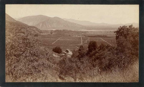
Alright, the scene above looks like it was taken from the incline and bend on Mt. Olive Drive just south of Woodlyn Lane.
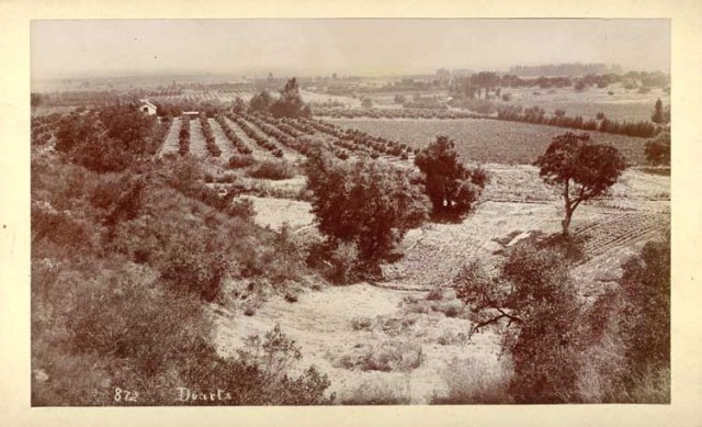
This scene is harder to tell. I can’t even guarantee that is a photograph of any sector of Duarte. There are no distinct Duarte landmarks and the terrain is not flat the way that section east of Mt. Olive, for example, is going up into Fish Canyon. Hard for me to identify. But knowing the little that I do know about how Duarte was all orange groves long, long ago I would venture a guess that this was somewhere near Mountain Avenue in Monrovia looking east toward Duarte.
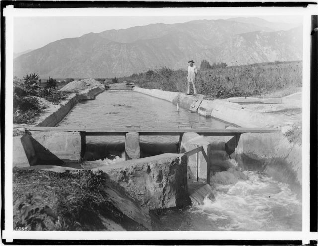
Irrigation ditch, 1924. Man is standing at the sluice. But that looks like Van Tassel Canyon behind him over his right shoulder. Directly behind him might be where the old San Gabriel Valley Gun Club was where two of my brothers worked, Chuck and Joe.